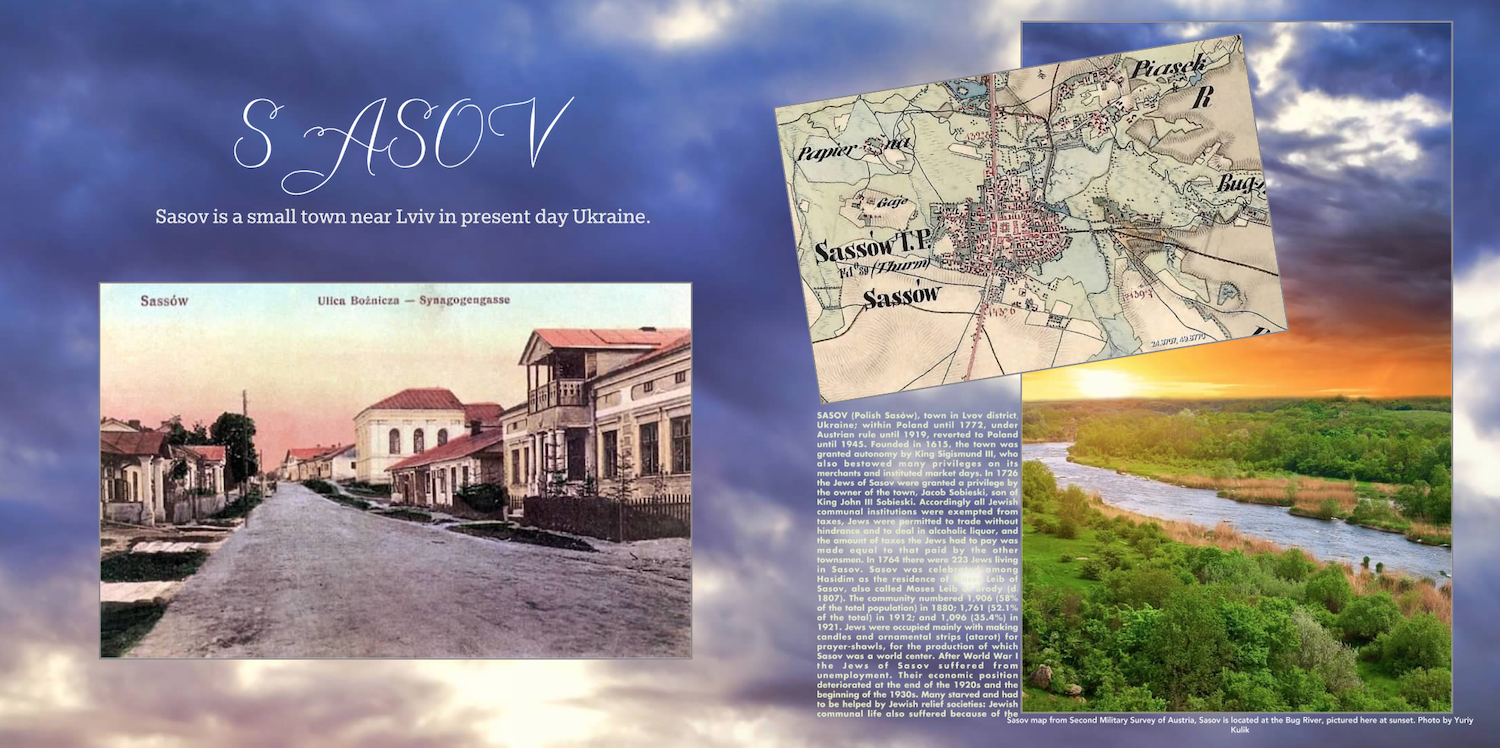
Sasiv, Ukraine. Early 1900s postcard of synagogue, 1864 map, sunset over Bug River.
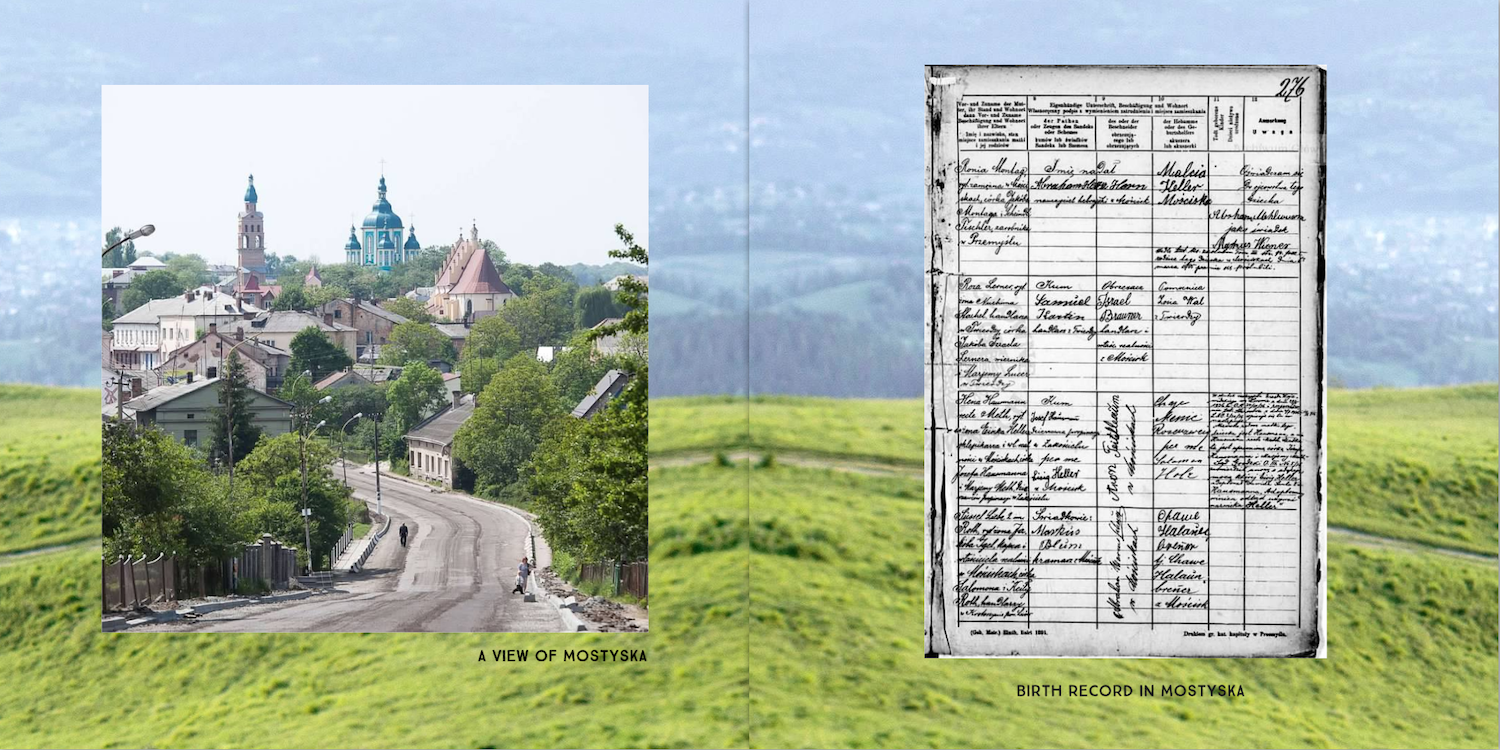
Photo of Mostyska, Ukraine and 1902 Jewish birth record.
The pages in this spread were reformatted from their original rectangular shape to be consistent with our current product line. The entire, 2-page birth record appeared in the original book.
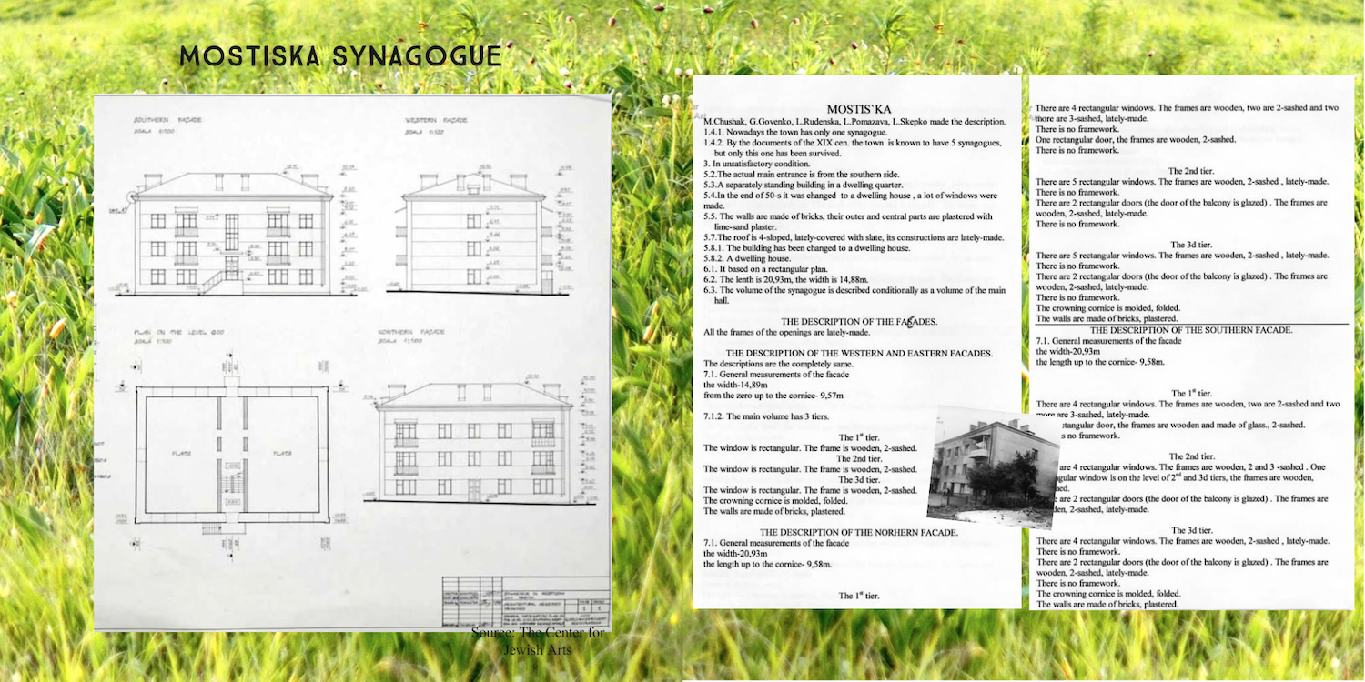
Mostyska or Mostiska, Ukraine synagogue plans and description.
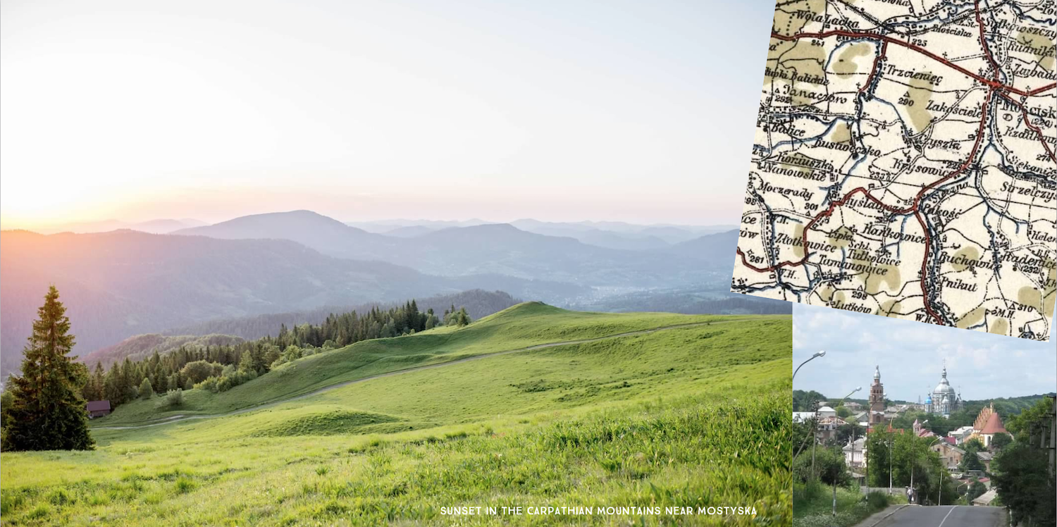
Carpathian Mountains near Mostyska (Mostiska), Ukraine. Map and photo showing mountainous town.
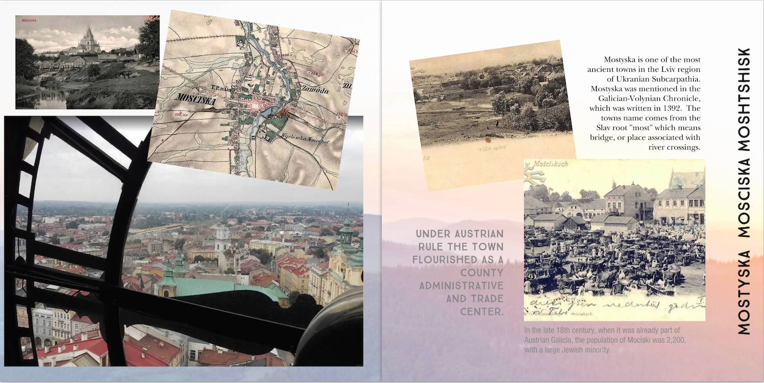
Historical photos and map of Mostyska (Mostiska), Ukraine. Modern photo from clock tower.
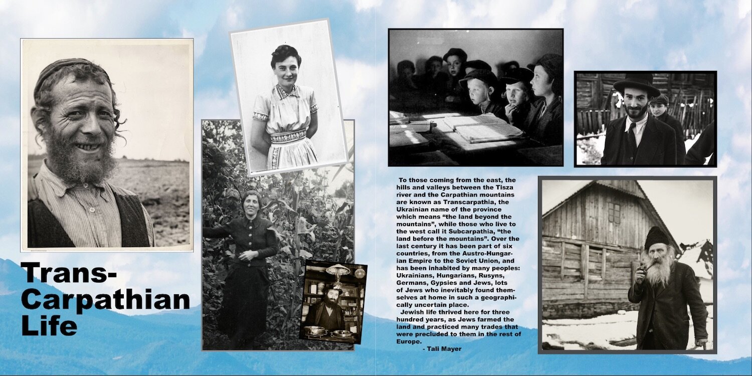
Jewish life in Transcarpathia (Subcarpathia), Ukraine. Historical photos and information.
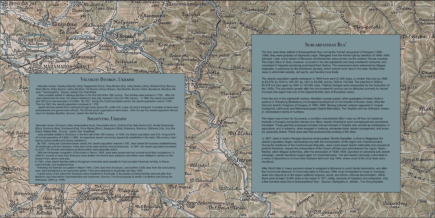
Map of Bychkyv & Solotvyno in Transcarpathia (Subcarpathia), now in Ukraine.
Information about the towns and the origins of the name Transcarpathia
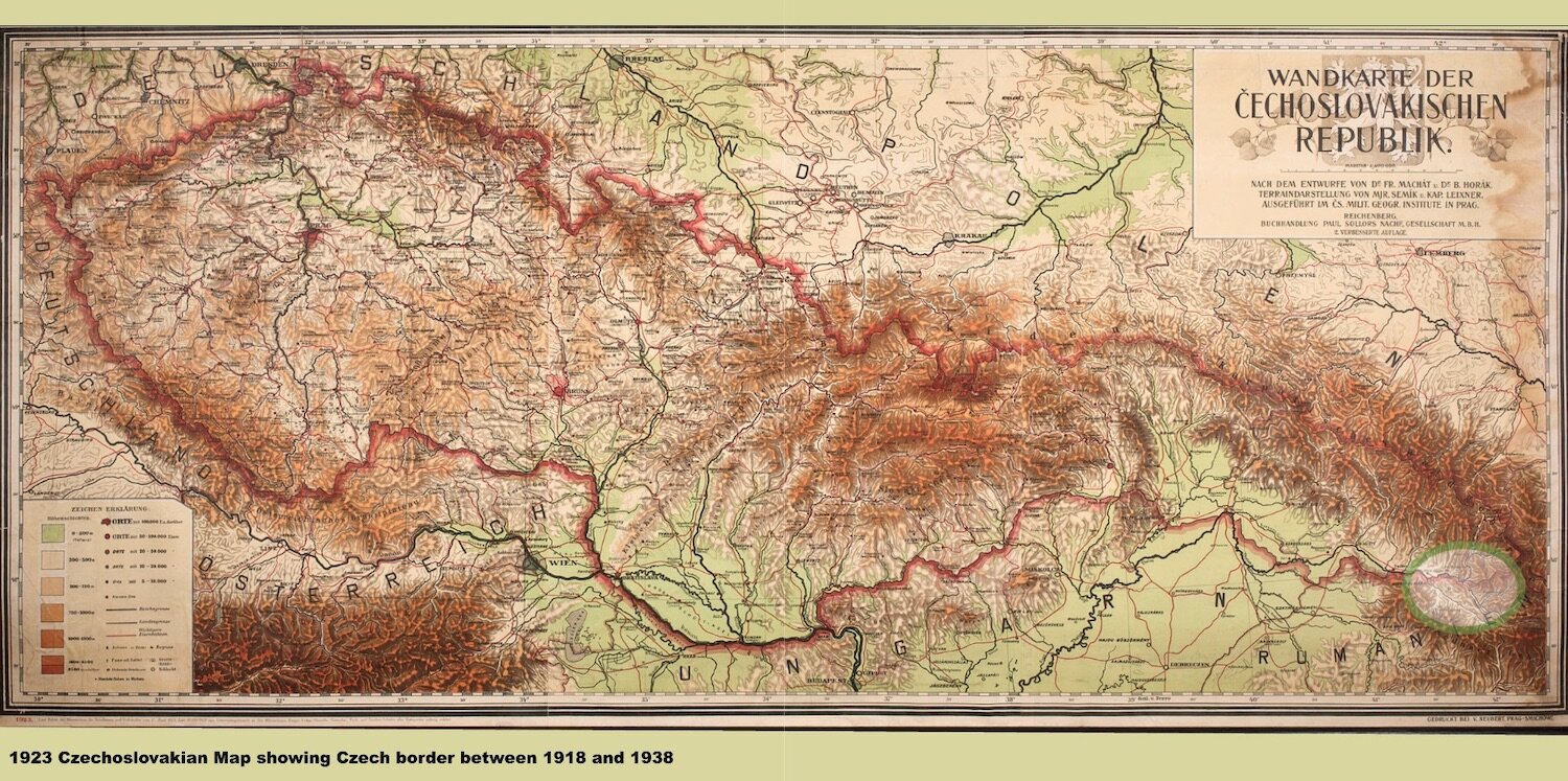
Map of Czechoslovakian borders, 1918-1938, including Transcarpathia (Subcarpathia) now in Ukraine.
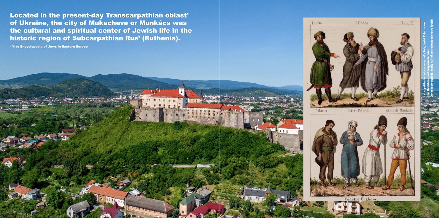
The center of Transcarpathian Jewish religion and culture was Mukacheve or Munkács.
1880s drawings of the dress of Jews and others from various regions.
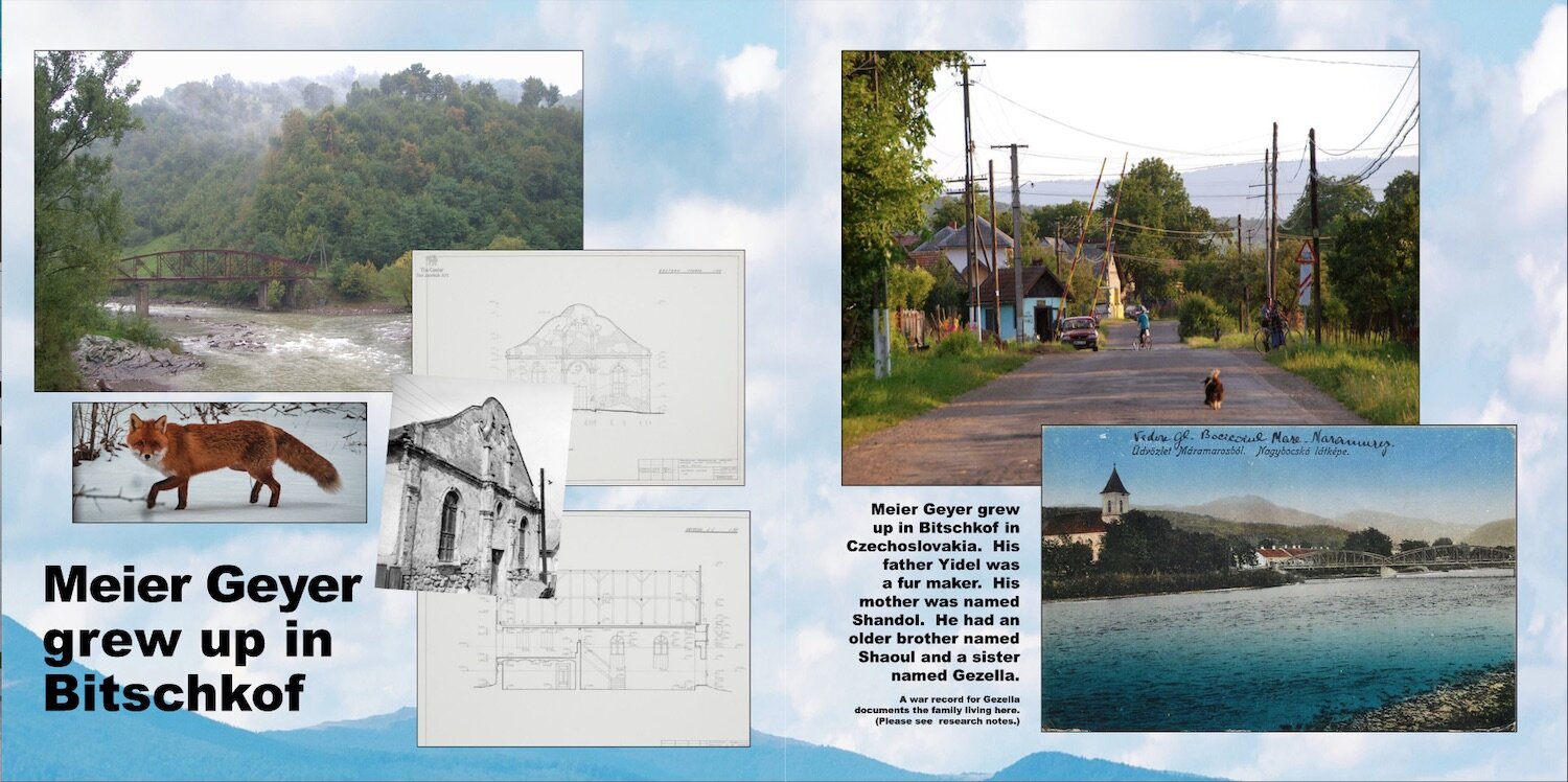
Bitschkof (Bychkyv), Czechoslovakia, now Ukraine, with synagogue, and fox in fox preserve.
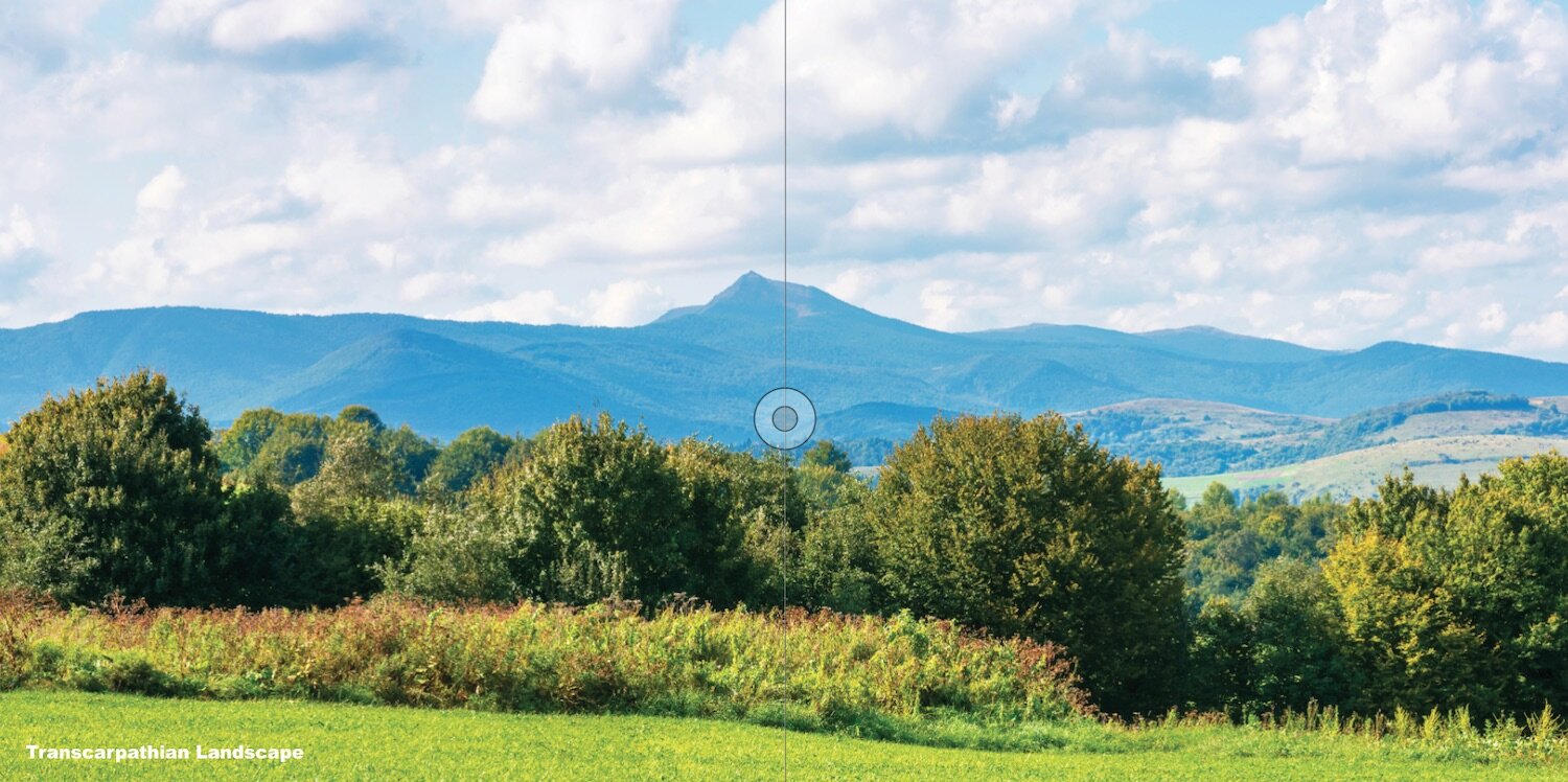
Transcarpathian mountain landscape.


